GIS Data Acquisition + Consultancy
Smart Cities / 3d smart city buildings / Satellite Imagery / Geographic Information Systems (GIS) / 3d Topographic Models / Drone geographic Data Capture / location intelligence / open source data / commercial source data / gis data portals
Marco Polo specializes in geographic data visualization + locating digital geographic data (Open Source + Commercial) to meet your Project requirements.
We can guide your Organization through the process of purchasing new capture or archived Commercial geographic data such as 3D Smart City Buildings, BIM Data, Satellite Imagery, 3D Topographic Data, Contours, Environmental Data, Administrative Data. In addition, we can use existing GIS or CAD data from your Organization or convert information from non-digital formats. The latest GIS Technology allows for real-time mapping + visualization of data via Mobile Devices + IoT Devices.
Geographic Information Systems + Data
> Advanced GIS Technology helps Clients bring spatial context to data, communicate geographic information + gain a competitive edge.
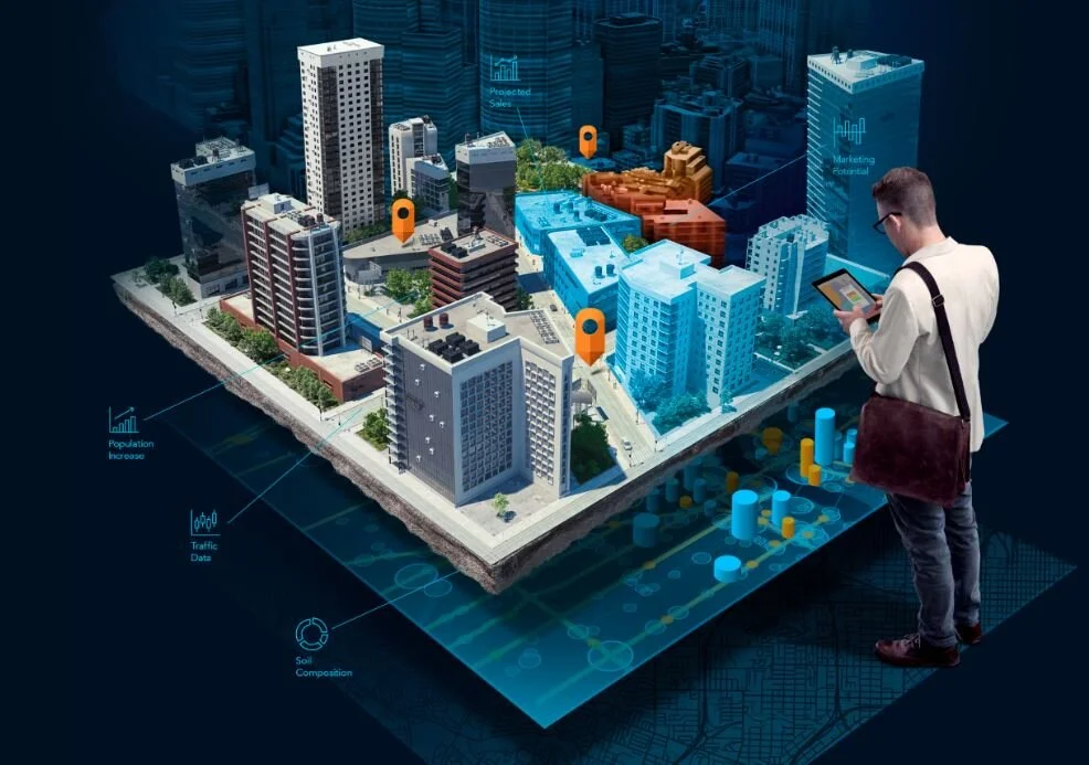
3D Smart Cities + Buildings
Danang 3D City Maps / 3D Smart Cities / 3D Smart City Buildings / Data Acquisition / Open Source + Commercial Source Data / Custom 3D Buildings / 3D Map Communications / Location Intelligence / Business Location Maps // Tourism / Real Estate / Retail / Urban Planning / Construction / Environment / Public Safety / Insurance
Marco Polo works closely with Los Angeles-based 3D Smart City Buildings Data Provider CyberCity3D + Auckland-based Digital Twin Platform Provider Nextspace.
Location Intelligence
> In our increasingly digital world, with billions of devices connected to the Internet of Things (IoT), companies have access to unprecedented amounts of business data, including Geographic data.
> Competitive organizations understand that location data provides unique insights, reveals customer patterns + helps drive decision-making.
> Elevate your Business Location Intelligence + Communication Strategies by visualizing 2D + 3D GIS data.
Satellite Imagery + Topographic Data
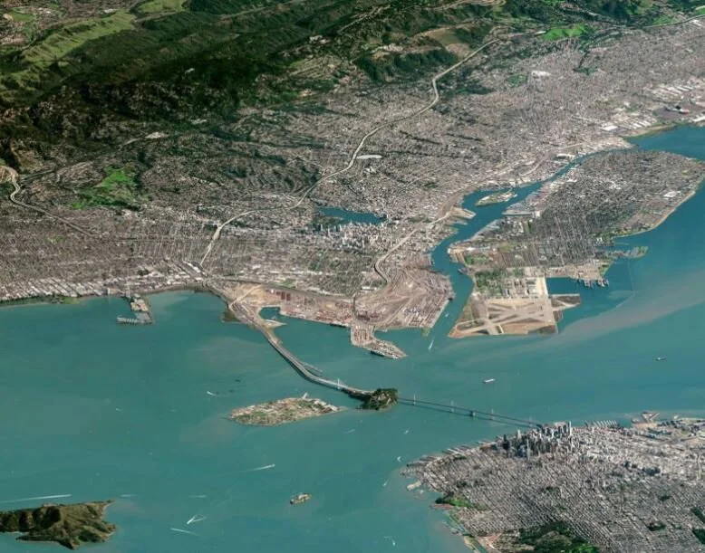
> Marco Polo can help your Organization harness Earth + Space Technologies to capture Satellite Imagery + 3D Terrain Models.
> Visualizing geographic data in 3D helps Organizations understand what is happening on the ground + provide information to make better decisions.
> Marco Polo can guide your Organization step-by-step through the Data Acquisition process.
> Visualize in 3D using real-world data + Share your Project with the World.
Drone Geographic Data Capture
> Capture 4cm High-Resolution Drone Air Photos + Topographic Terrain data to create photo-realistic Interactive 3D Models of your Project.
> Vegetation Surveys help Corporate Farms + Small/Medium Farms monitor their crops health + make better decisions that reduce costs + save labor time.


