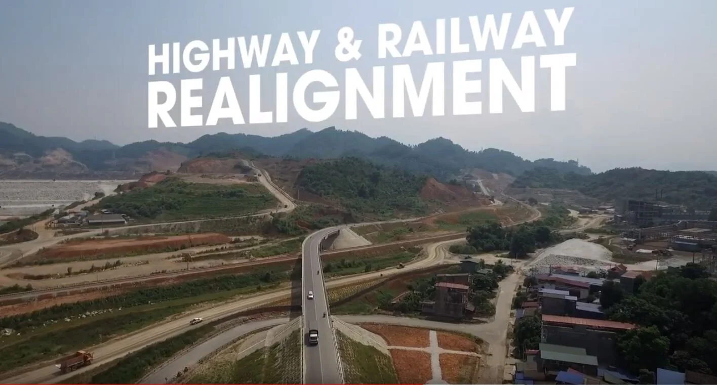
Nui Phao Polymetallic Mine | World’s Largest Tungsten Mine in Thai Nguyen Province, Vietnam.
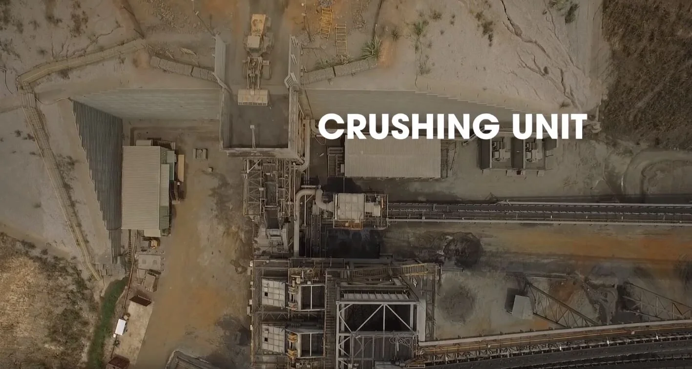
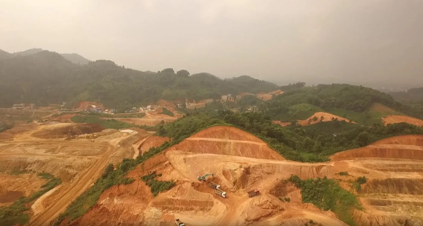
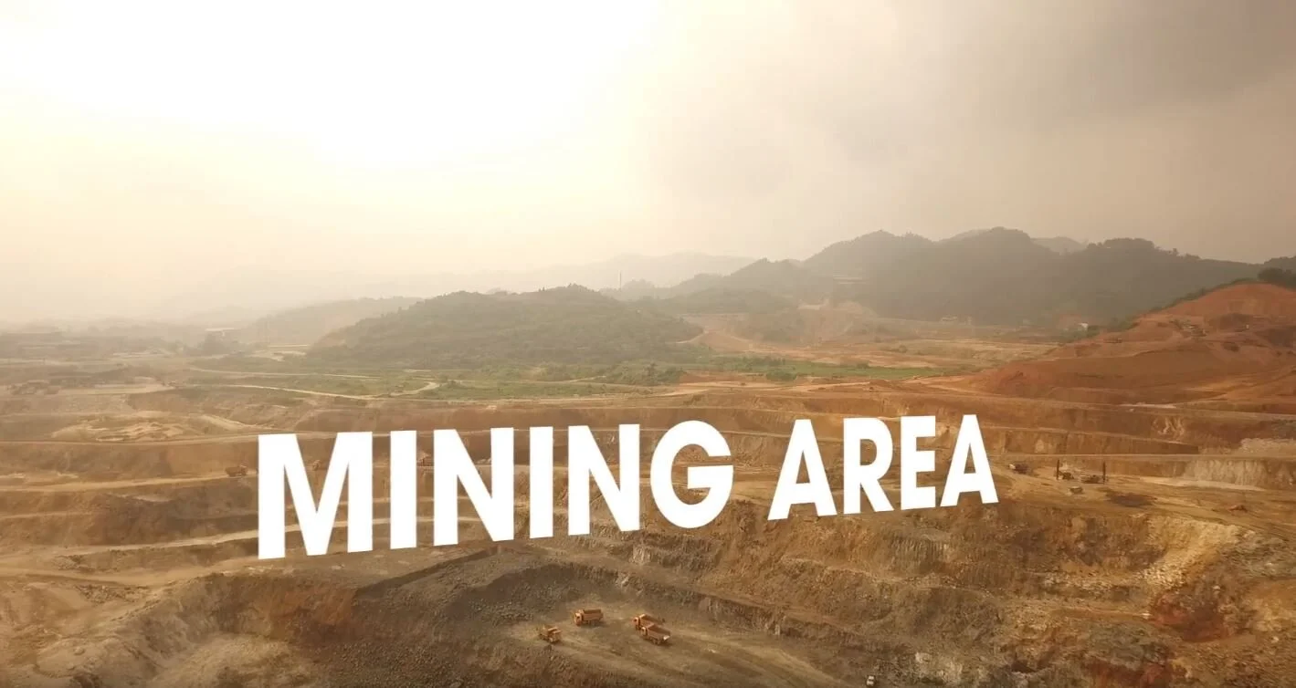
Marco Polo Studios captured 4K Drone Footage of the Nui Phao Tungsten Mine + created a Commercial Video highlighting all key Project locations.
We provided consultation through the entire data acquisition process of researching + purchasing 50cm Pleiades Satellite Imagery + 3D Topographic Data including leading the Team capturing Ground Control Points.
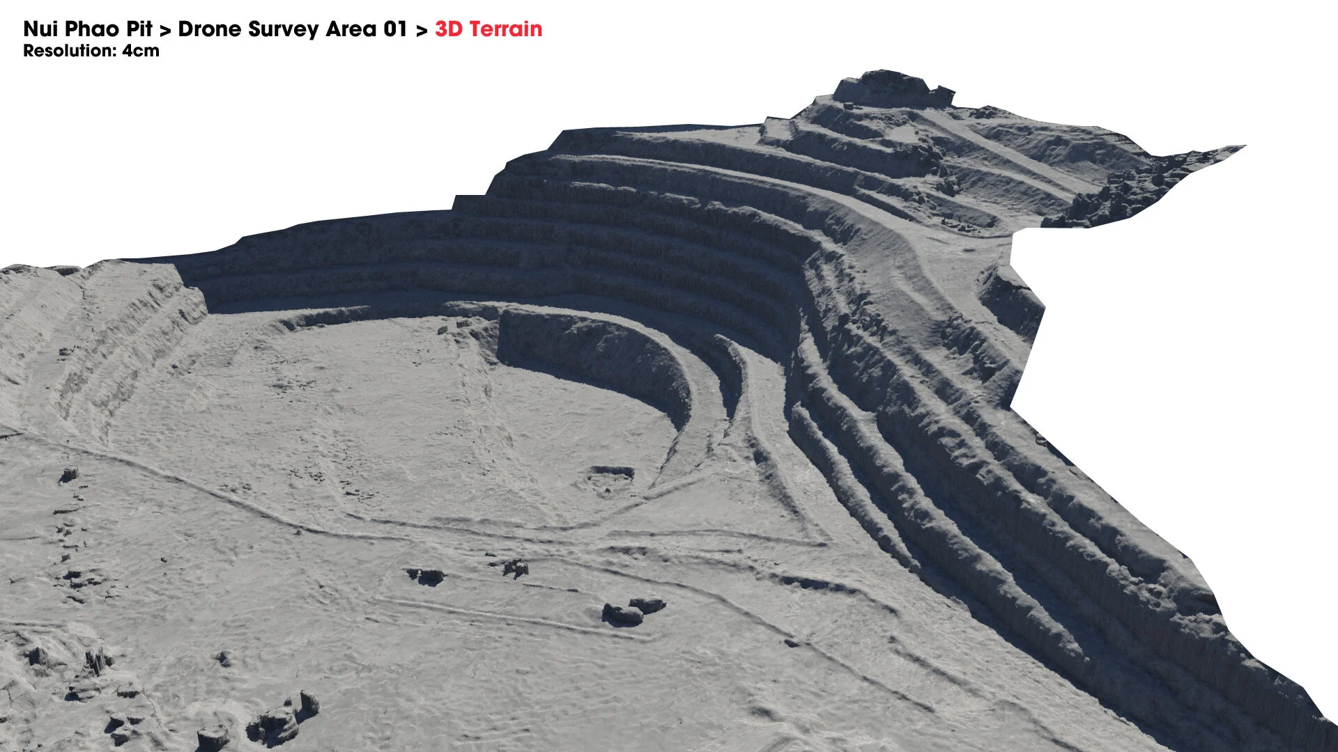
Satellite Imagery was used for Mine Site Planning, Environmental Monitoring + 3D Communications. A 3D Topographic Model + 1m Interval Contours were created to help Nui Phao assess water flow + dam failure risks to Waste Tailings Ponds.
3D Model of Nui Phao Tungsten Mine


